Cambridge City Council
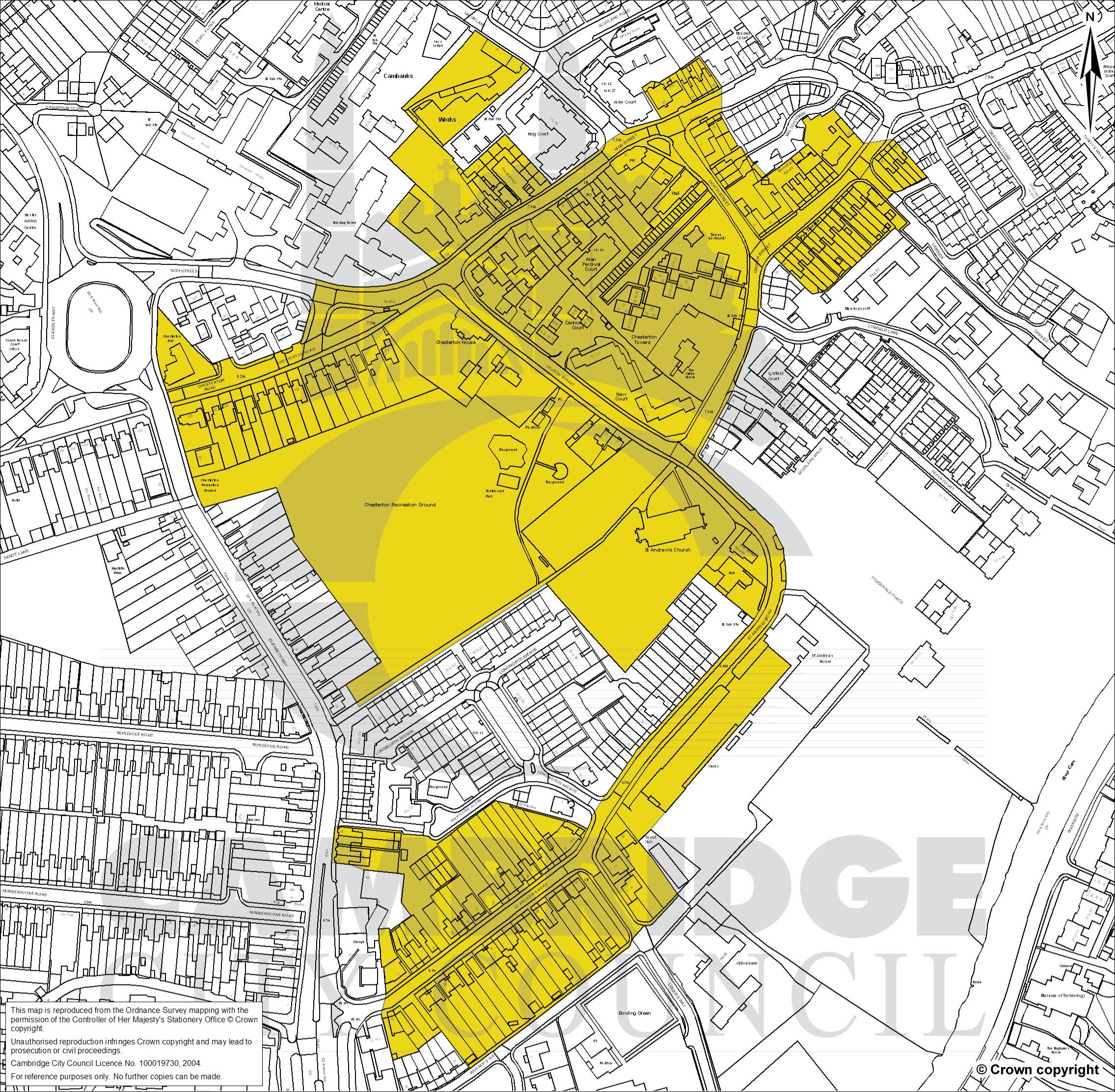
Conservation area: Chesterton 20
Legend
- Cambridge City Council boundary
- Conservation areas
Chesterton 20
- geometry
-
MULTIPOLYGON (((0.137957 52.217433,0.137921 52.217459,0.137861... - reference
- 20
- entry-date
- 2009-06-23
- name
- Chesterton
- documentation-url
- https://www.greatercambridgeplanning.org/design-heritage-and-environment/histori...
- end-date
- notes
- start-date
- 2009-06-23
- designation-date
- point
-
POINT (0.138557 52.215693) - legislation
- GeoX
- GeoY
- organisation