Cambridge City Council
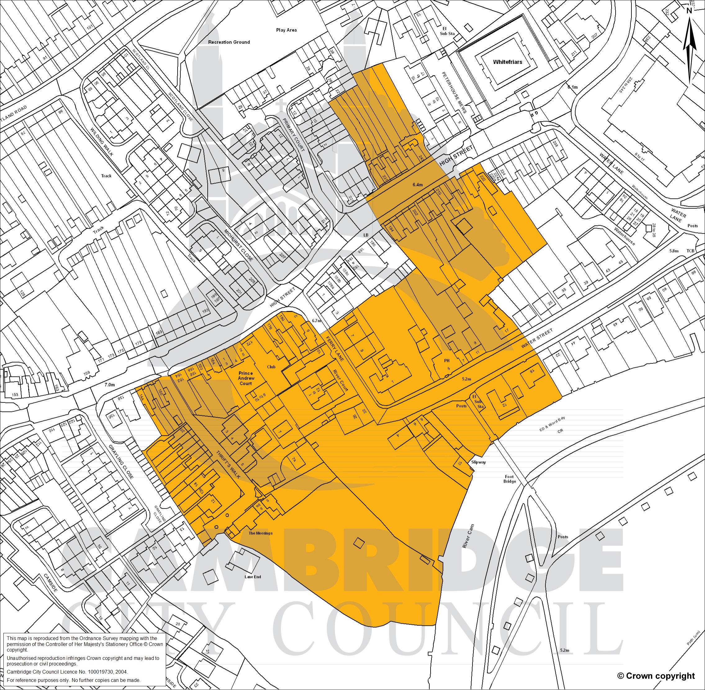
Conservation area: Ferry Lane 34
Legend
- Cambridge City Council boundary
- Conservation areas
Ferry Lane 34
- name
- Ferry Lane
- reference
- 34
- geometry
-
MULTIPOLYGON (((0.145008 52.219414,0.144993 52.219412,0.144764... - designation-date
- documentation-url
- https://www.greatercambridgeplanning.org/design-heritage-and-environment/histori...
- entry-date
- 2009-06-23
- notes
- start-date
- 2009-06-23
- end-date
- GeoX
- GeoY
- point
-
POINT (0.144794 52.217799) - legislation
- organisation