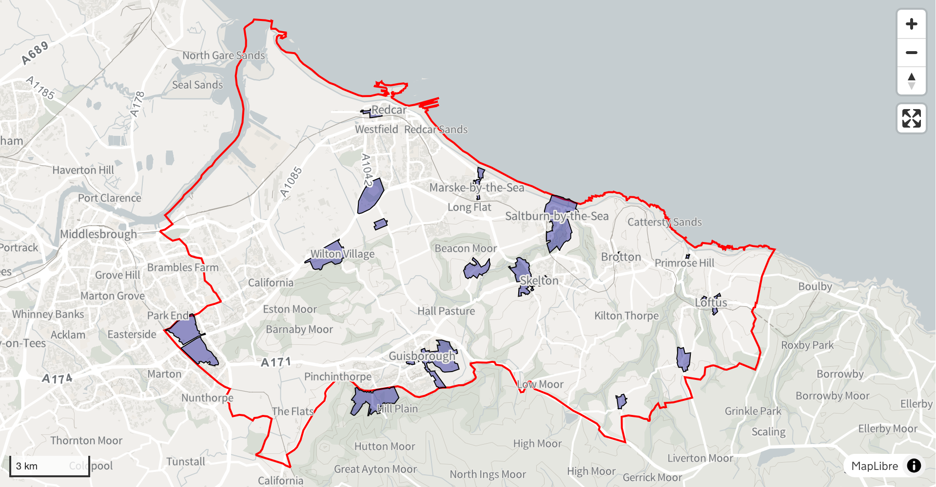
Milton Keynes City Council — Article 4 direction area
Review alternative sources
Contents
| reference | name | entry-date | start-date | end-date | designation-date | organisation | geometry | point | notes | document-url | documentation-url |
|---|---|---|---|---|---|---|---|---|---|---|---|
| RCC_259_CA_15 | Upleatham | 2025-02-11 | 1976-10-27 | 1976-10-27 | Ministry of Housing, Communities and Local Government | MULTIPOLYGON (((-1.017135 54.565578, -1.017136 54.565589, -1.017169 54.565627,... |
POINT (-1.020105 54.564754) |
Best Map is shown on page 29 of the appraisal document. | https://www.redcar-cleveland.gov.uk/sites/default/files/2022-08/Upleatham%20Cons... | https://www.redcar-cleveland.gov.uk/planning/historic-environment-and-heritage-m... | |
| 6378 | Loftus | 2025-02-11 | 1976-01-15 | 1976-01-15 | Historic England | MULTIPOLYGON (((-0.879716 54.556054, -0.879753 54.55623, -0.880083 54.556609,... |
POINT (-0.884974 54.553554) |
Best Map is shown on page 5 of the appraisal document. | https://www.redcar-cleveland.gov.uk/sites/default/files/2023-06/Loftus%20Conserv... | https://www.redcar-cleveland.gov.uk/planning/historic-environment-and-heritage-m... |
We have found 2 conservation areas in your boundary from alternative sources
You can:
- download the whole dataset, or choose which records to include in the download
- add the data to your dataset
- edit the data before publishing it on your website